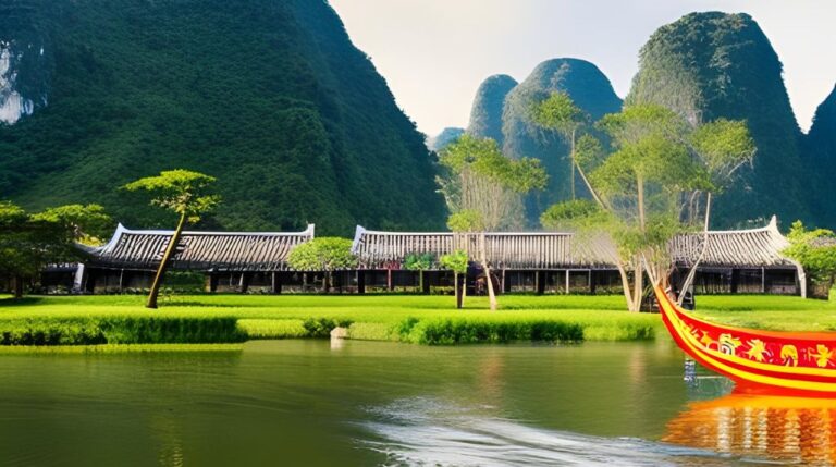
Vietnam, a Southeast Asian country uniquely shaped like the letter ‘S,’ is known for its striking topography and diverse climate. This narrow strip of land, wedged between the South China Sea and Laos and Cambodia’s land borders, is an amalgamation of varied landforms, climates, and biodiversity.
Vietnam’s Physical Features and Topography
The geography of Vietnam is remarkably diverse, encompassing coastal regions, mountains, fertile deltas, and vast forests. The topography of Vietnam is segmented into four main regions, each with its unique geographic features.
In the far north, the mountainous region includes parts of the Hoang Lien Son Range, with Fansipan, the highest peak in Vietnam, standing tall at 3,144 meters. The northern region is also home to the Red River Delta, an important agricultural area.
The coastal lowlands and the Annamite Range dominate Central Vietnam, with remarkable landscapes like the limestone formations of Ha Long Bay, a UNESCO World Heritage Site.
Southern Vietnam is characterized by the flat low-lying Mekong Delta. This fertile region is the agricultural heartland of Vietnam, producing a significant portion of the country’s rice output.
Climate and Weather Patterns
Vietnam’s elongated shape, spanning several latitudes, and its varied topography result in different climate zones. The northern region, with cities like Hanoi, experiences a humid subtropical climate, which includes hot, humid summers and mild, cool winters.
The coastal strip and the central highlands experience a tropical monsoon climate. This area, which includes the cities of Hue, Da Nang, and Nha Trang, undergoes high rainfall from September to December.
Southern Vietnam, including Ho Chi Minh City and the Mekong Delta, has a tropical savanna climate, characterized by a wet season and a dry season.
Rivers and Water Bodies
Rivers play a crucial role in Vietnam’s geography. The most significant rivers, the Red River in the north and the Mekong River in the south, have formed fertile deltas that are densely populated and agriculturally productive. Both rivers are lifelines for millions of people, providing water for irrigation, aquaculture, and transportation.
Vietnam’s coastline extends over 3,260 kilometers, dotted with beautiful bays, bustling seaports, and idyllic islands. The South China Sea influences Vietnam’s climate and offers abundant seafood resources.
Natural Landmarks
Vietnam’s geographical beauty is evident in its natural landmarks. From the towering limestone islands of Ha Long Bay to the vast network of waterways in the Mekong Delta, the country brims with natural wonders. The Trang An Landscape Complex and the Phong Nha-Ke Bang National Park, with its ancient limestone karst and vast cave systems including the largest cave, Son Doong Cave, are testament to Vietnam’s geological richness.
Biodiversity and Conservation Efforts
Vietnam’s diverse ecosystems are home to rich biodiversity. This ranges from the elephants and sun bears in Yok Don National Park to the marine life in the coral reefs off the coast of Nha Trang. However, this biodiversity faces threats from deforestation, illegal wildlife trade, and climate change. Conservation efforts in Vietnam aim to protect endangered species and promote sustainable practices.
Environmental Challenges
Vietnam faces several environmental challenges, including air pollution, water pollution, and urbanization. Rapid economic growth has put significant pressure on the environment. Climate change is also a major concern, with rising sea levels posing a threat to the low-lying Mekong Delta.
Understanding the geography of Vietnam provides insight into the country’s culture, lifestyle, and economy. Despite the environmental challenges, Vietnam’s geographic diversity is a key strength, contributing to its rich culture, productive agriculture, and stunning landscapes that continue to captivate visitors from around the world.


